




Prepare for a mountain hike: route, equipment, and good practices
|
|
Clear skies at the start, light rain at 1,800 meters, and a pack containing nothing but a windbreaker that is too light: it is often at that precise moment that you understand what planning your mountain hike really means. From choosing the route and gear to food and the right habits to adopt on site, preparation involves several aspects at once, long before the first step on the trail.
MENU
An underestimated elevation gain or weather that changes within an hour can turn a relaxing outing into a race against nightfall. Planning your mountain hike therefore starts before you even put on your hiking boots, with a route built on reliable data rather than an approximate map.
The free version of Visorando already lets you go far: more than 44,000 routes listed in France and abroad, complete descriptions (distance, elevation gain, difficulty, stages), local weather, real-time GPS tracking whenever there is network coverage, and route downloads for offline use, a crucial feature as soon as the network disappears at the bottom of a valley.
The Premium subscription, starting at 25 euros per year, adds high-precision IGN topographic maps that can be viewed offline, an automatic route-drawing tool that follows existing trails and lets you compare or merge several tracks, a view of slopes steeper than 30 degrees to help anticipate avalanche risk in winter, detailed 7-day weather forecasts with an hour-by-hour breakdown for 48 hours, real-time location sharing with loved ones, and the ability to export hikes to Google Earth.
Covering everything from a day trip to planning a multi-day trek.


The mileage shown on a trail page does not tell the whole story of a hike.
A simple calculation lets you go beyond mere mileage: count each 100-meter increment of elevation gain as an additional kilometer, and each 300-meter increment of elevation loss in the same way.
For a beginner to intermediate level, aiming for between 10 and 15 of these effort-kilometers per day helps keep the outing reasonable rather than relying solely on the figure displayed on the map.
The weather in the valley tells you nothing about what awaits you at 2,000 meters. With the Premium subscription, Visorando displays up to 7 days of forecasts with an hour-by-hour breakdown for the first 48 hours and a history of the previous 3 days, directly on each route's page.
On winter or spring outings, the slope map indicates avalanche-risk areas, and the BERA, the Avalanche Risk Assessment Bulletin, complements this information with a risk rating from 1 to 5 depending on altitude and exposure.
These are not details reserved for seasoned mountaineers: they are the information that allows you to decide, the day before, whether the planned outing is still viable or whether it would be better to switch to a shorter route.

One thick jacket alone is not enough to cover an entire day of hiking: it is the layering of several garments, each with a specific role, that makes it possible to adapt to the effort and the weather without ending up drenched in sweat or freezing when you stop. The complete guide to the three-layer system explains the whole principle; in short, the first layer wicks away moisture produced by the body during exertion, the second retains warmth without suffocating, and the third blocks wind and rain while allowing the skin to breathe.


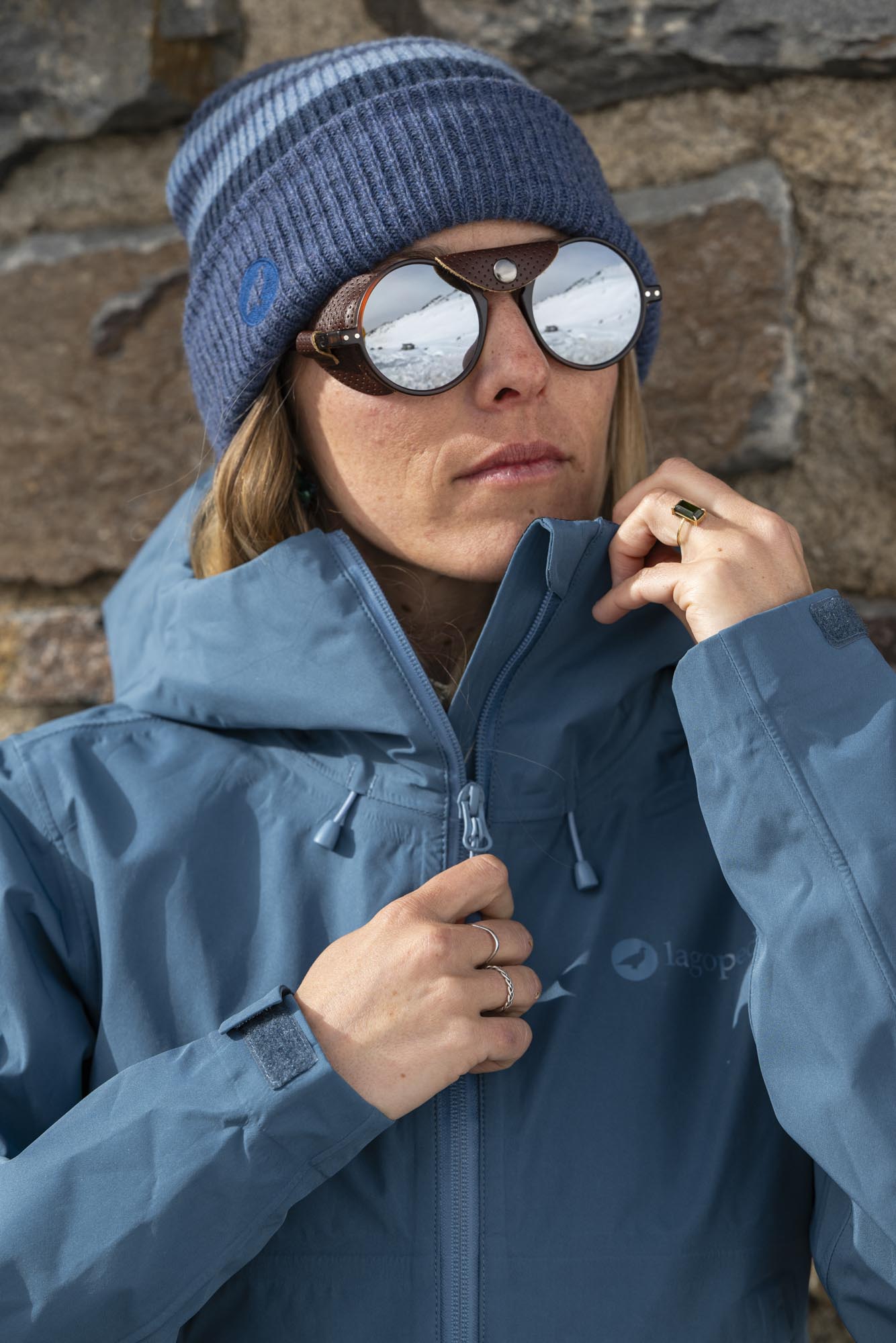
As a first layer, a technical T-shirt such as ROKA or a thermal wool version such as TYTO keeps the skin dry instead of letting sweat linger against the body, for both him and her. Over it, a fleece such as PHANTOM retains warmth as soon as the wind picks up, without weighing down the pack. And as an outer layer, a waterproof and breathable jacket remains essential even when the sky seems clear at the start: it is what handles the weather change that altitude often brings within minutes. TETRAS, available in men's and women's versions, checks this box without becoming an unnecessary burden on day trips.
On late-season outings, a stretch technical pair of shorts such as PTARMIGAN2 for him or RIOUPOU for her provides all the freedom of movement needed on technical sections, with a fabric that dries quickly in case of a shower.
A lightweight hat at the bottom of your pack takes up practically no space, and makes all the difference as soon as the wind picks up on the ridge. These are often the small items forgotten while packing that make the difference between a comfortable outing and one cut short.

At altitude, UV radiation increases with every additional stretch of elevation gained, and reflection from rock or snow intensifies exposure, including in cloudy weather. A UPF50+-certified technical T-shirt such as TEETREK or GANGA protects the skin without adding a layer of sunscreen that needs to be reapplied every two hours.
This certification applies to dry fabric: once soaked by sweat or rain, actual UV protection decreases, which does not diminish its value for most of an outing.

Exertion in the mountains causes faster dehydration than you might think, due to the altitude, sun, and dry air. Allow for at least 1.5 liters of water per person, as recommended by the Fédération Française de la Randonnée Pédestre, and drink small sips throughout the hike: when you feel thirsty, your body is already falling behind. On a hike lasting several hours, it is better to distribute several water sources along the route than to rely entirely on one large bottle.
When preparing food for a mountain hike, prolonged exertion is better fueled by small, regular amounts of carbohydrates than by a large meal along the way: digesting a heavy meal uses energy that your legs also need. Dried fruit, energy bars, or gingerbread fit easily into an accessible pocket, so you can snack without stopping for long. On multi-day routes, identify resupply points, mountain huts, or villages in advance rather than setting out completely self-sufficient without a backup plan.
Part of the French mountain ranges lies within national park core zones, where specific regulations apply:
These rules protect fragile high-altitude wildlife and plant life, accustomed to extreme conditions but not very resilient to trampling or human disturbance.
Before setting out, a quick look at the information signs at the start of the trail or on the relevant park's website can help avoid unpleasant surprises.
In autumn, it is not uncommon to encounter hunters in forested areas or mid-mountain regions: check locally for hunting periods and days before setting out, especially at weekends, and choose brightly colored clothing if you are crossing wooded areas at that time of year.
If you have any doubts about a route, it is better to ask a tourist information office or a local FFRandonnée committee for advice rather than relying solely on a downloaded track.
Finally, bring something to raise the alarm if needed: 112 works as the European emergency number even in areas where the usual network is unavailable, and a whistle remains useful for signaling your position when your voice can no longer carry far enough.

This is a question we often hear in the shop, and the answer is yes, without hesitation. In the mountains, altitude changes the rules: a storm can form in less than an hour, the temperature drops quickly as soon as the sun disappears behind a peak, and wind on ridgelines intensifies the feeling of cold far beyond what the thermometer indicates. A waterproof, windproof jacket is therefore not an option reserved for autumn or winter: it is a safety item just like a map or GPS track. The trade-off is weight: it is better to choose a lightweight, packable jacket rather than a model designed for winter conditions, so as not to weigh down your pack on a summer outing.
The standard list includes a map and navigation device, water and enough food, clothing to protect against cold and rain, a headlamp, a first-aid kit, a knife or multi-tool, matches or a lighter, sun protection, an emergency shelter, and a whistle or means of signaling your location. In the mountains, you should systematically add an extra technical layer, because the weather changes faster there than in the lowlands.
Physical preparation is built up in the weeks beforehand, not the day before setting out. Walking regularly with a loaded backpack, climbing stairs to get your legs used to elevation gain, and working on endurance at a moderate pace help you arrive in the mountains with a sense of your own pace. Hydration and sleep in the preceding days matter just as much as the training itself.
Preparing for a mountain hike ultimately means bringing together several complementary preparations: the route, with a realistic itinerary and a reliable track; your body, with water, enough food to eat regularly, and a layering system designed to handle changes in the weather; and your conduct, by respecting the places you pass through and knowing how to react in case of the unexpected. None of these elements replaces the others: the best equipment cannot make up for a poorly planned route, and vice versa.
Related product
TETRAS Women's mountain hiking jacket
$729.00


